
Thank you for subscribing!
No confirmed example of this design has been found in Ancient Egypt before
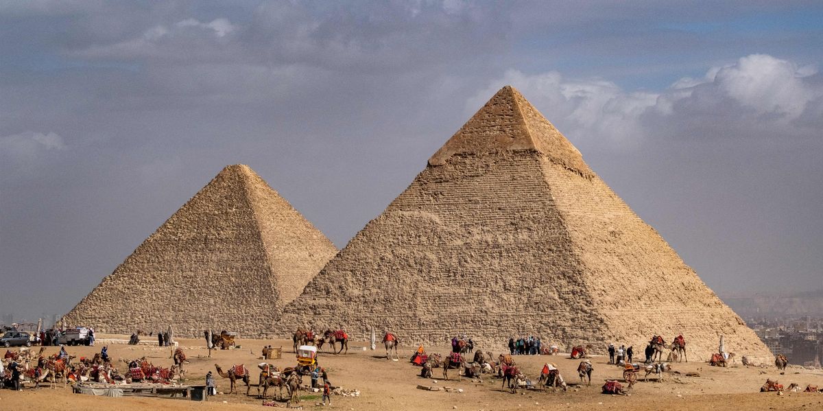
The age-old mystery of the Egyptian pyramids has finally been explained as archaeologists uncover just how the ancient wonders were built.
Two huge formations buried in sand near Egypt's Red Pyramid have long been regarded as a stone-hauling road and a natural ridge.
But a new study, led by Cairo University and published in Nature, has flipped the interpretation on its head.
The researchers have argued the structures were actually part of an advanced water management network built to capture floodwater and control sediment.
The Red Pyramid sits at Dahshur, roughly 15 to 25 miles south of Cairo, and dates to approximately 2590 BCE.
Pharaoh Sneferu, father of the Great Pyramid's builder Khufu, commissioned it during the Fourth Dynasty.
Both formations stretch across Wadi Dahshur, spanning roughly 1,970 to 2,300 feet from slope to slope.
They cut directly across the valley's drainage path rather than following any travel route, with their broad, trapezoidal shape resembling earth-and-rock embankment dams rather than roads.
The proposed system features two dams with a reservoir between them covering about 21 acres and holding an estimated 61 million gallons of water.
The upstream dam would have slowed flash floods, letting debris settle before cleaner water reached the main retention barrier downstream.
At the centre of the western structure, satellite imagery reveals a zigzagging triangular feature that researchers have identified as a possible "duckbill" spillway.
No confirmed example of this design has previously been found in Ancient Egypt.
LATEST ARCHAEOGICAL FINDS:
Its triangular shape would have doubled the volume of water discharged compared with a straight overflow of equal width.
Sadd el-Kafara, one of the world's oldest known large dams, stood less than 12 miles east and collapsed because it lacked adequate overflow capacity.
The hydraulic network may also have included a lengthy diversion canal running parallel to the pyramid's western flank.
Historical surveys suggest this channel extended roughly 1,970 to 2,625 feet before turning eastward, passing within about 130 to 165 feet of the monument.
Its full course may have reached approximately 0.6 miles before joining an ancient wadi leading towards the Nile.
The canal sat around 130 feet above the Nile Valley, so boats could not have sailed directly from the river to the site.
Sadly, since the structures have never been excavated - as much of the site falls within a restricted military zone, blocking archaeological access - no secure dating exists for either formation.
Confirming the theory would require uncovering engineered cores, stone erosion protection, water-deposited sediment or datable building materials.
Researchers must also establish whether the proposed canal was physically linked to the western dam.
The study relies principally on satellite imagery, historical maps, aerial photographs, terrain models and hydraulic calculations.
The researchers do not claim that water power definitively built the Red Pyramid, but they say that water management supported a wider logistical operation around the monument.
Until excavation takes place, the formations could date from before the pyramid, during its construction or even centuries afterwards.