


Britain faces a potentially record-breaking heatwave as the Met Office has extended the amber "extreme heat" warning to run from Monday until Thursday.
Forecasters predict temperatures could soar as high as 38C during the most intense period of the hot spell, with mercury readings widely surpassing 35C across much of the country.
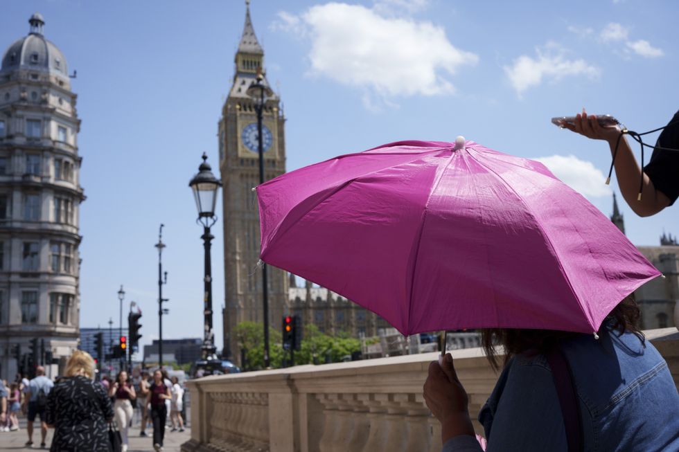
The current June temperature record of 35.6C, set in Southampton in 1976 and matched at Camden Square in 1957, appears likely to fall this week.
Southern England will bear the brunt of the scorching conditions, while northwestern areas can expect more typical temperatures and unsettled weather.
The UK Health Security Agency has simultaneously issued yellow and amber heat health alerts warning of significant health and social care impacts.
Temperatures will climb rapidly on Monday, reaching 34C across southern England before intensifying further on Tuesday when the south could see 37C and southeast Wales 35C.
The heatwave's peak arrives on Wednesday and Thursday, with forecasters expecting 38C readings that would shatter the existing June record.
Nighttime will not see temperatures drop much lower with widespread tropical nights forecast across southern England, particularly in urban centres, where temperatures will remain above 20C.
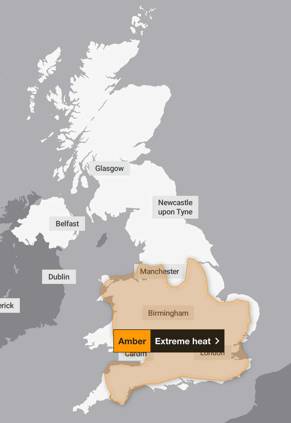
The Met Office have updated it's amber weather warning extending it to Thursday
|THE MET OFFICE
The humidity levels will make conditions feel particularly stifling, with dew points predicted to reach approximately 22C midweek.
By comparison, the record-shattering July 2022 heatwave saw dew points only in single figures, indicating this week's conditions will feel considerably more oppressive.
Heat stress poses a danger to everyone, not solely vulnerable groups.
Met Office Deputy Chief Forecaster Tom Crabtree said: "The forecast heatwave is developing into an impactful severe weather event, with record breaking June temperatures and very high humidity. The combination of heat and humidity will be oppressive and bring impacts across society from public health and infrastructure to power and water supplies."
LATEST DEVELOPMENTS
Temperatures could be set to shatter June records in the coming days
|GETTY
He added: "As well as very high daytime temperatures, there will be consecutive nights where temperatures do not drop below 20°C, which is called a Tropical Night. This will make it very hard for people to recover from the daytime heat, exacerbating the heat stress impacts."
The warning encompasses potential disruption to transport networks, energy systems and water supplies alongside health concerns affecting the general population.
Isolated thundery downpours may develop on Monday and Tuesday, though these are expected to be sporadic.
Authorities anticipate a rise in water safety incidents as the hot weather draws crowds to coastal areas, lakes and rivers.
Samantha Hughes, National Water Safety Partner at the RNLI, said: "With warmer weather approaching, it's important to remember that the water is still cold. Entering it unexpectedly can lead to cold water shock, causing a sudden increase in breathing and heart rate, which may trigger panic."
She advised anyone struggling in the water to remember the Float to Live technique: tilt your head back with ears submerged, relax and control breathing.
Sea temperatures remain lower than typical midsummer levels, with water below 15°C capable of triggering cold water shock.
The RNLI recommends choosing lifeguarded beaches, swimming between red and yellow flags, and wearing wetsuits for extended time in the water.
Our Standards: The GB News Editorial Charter